-
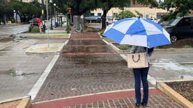 The cold front has been on an eastern trek across the state all week.
 -
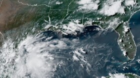 Forecasters are watching a cluster of activity in the southwest Gulf as it moves closer to Texas.
 -
 The strongest storms moved east of San Antonio early Wednesday after overnight downpours caused power outages, flooded roads and weather warnings across the region.
 -
 A flood watch remains in effect until 7 p.m. Monday, even though less rain is expected on Sunday and Monday over this long holiday weekend.
 -
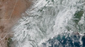 The rain could begin falling on isolated areas of San Antonio on Tuesday afternoon and become more widespread by Wednesday. Most of the city should see rain on Thursday.
 -
 The National Weather Service reports 2 to 4 inches of rain is possible with 6 inches in isolated areas.
 -
 Several Fiesta events were called off as heavy rains flooded roads across the region. Conditions are expected to gradually improve, though some closures and showers may linger.
 -
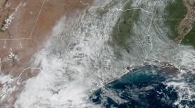 Active spring weather patterns continue to stir up the atmosphere.
 -
 An unsettled weather pattern in the central U.S. could be a significant rainmaker.
 -
 The rainy afternoon did not keep families away from Easter fun at Brackenridge Park on Saturday.

© 2026 Texas Public Radio
Real. Reliable. Texas Public Radio.
Play Live Radio
Next Up:
0:00
0:00
Available On Air Stations


