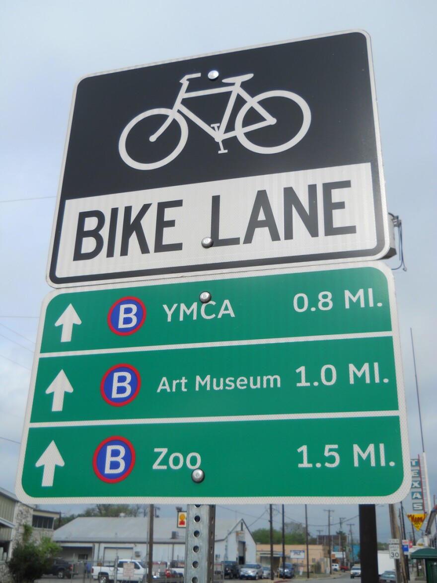
Downtowners have been noticing some new signage pointing out major attractions in the Center City. Dozens of new signs have gone up that also help cyclists locate the nearest B-cycle station.
A lot has been going on in the first half of the "Decade of Downtown": There is Center City Development, a new Travis Park, River North, and all of the development efforts together creating a fresh crop of restaurants, bars and coffee shops and a need to get around.
"We get really excited by signs," said Julia Murphy with the city’s San Antonio Bikes program. Murphy said several sets of official, highway-green signs have popped up near the Pearl to show riders where to go from where they are.
"Such as the Tri-Point Y, The San Antonio Museum of Art, the zoo, Brackenridge Park, and if you are coming back from the north direction to the Central Library and, of course, downtown," Murphy said.
Each installation is really several small signs so the user has choices of destinations. And, Murphy said, the signs offer choices to B-Cyclists looking for the next station.
"When you're a B-Cycle user you are on the clock and it's good to be reminded that you can turn off on a side street, there is a B-Cycle station convenient, and you can re-dock and get more time or stop and see the sights that are pointed out on these signs," Murphy said.
Other signs are located on a well-traveled route between Woodlawn Lake Park and St. Mary’s University. Signs have been going up since late August, and more are scheduled later this year for the Mission Trail.
"The cool thing about them is we are trying to put distances because when you are riding a bike or walking, every tenth of a mile is important," Murphy said.
The signs also let drivers know to expect cyclists in the area. Murphy said each sign runs about $300 installed, with funds coming from the Advanced Transportation District.


