The National Weather Service reports next week could get off to a stormy start with the arrival of a Pacific cold front.
Forecasters said the cold front could trigger more than gusty winds and rain. Tornadoes and hail are possible too.
San Antonians will wake up to temperatures in the 40s Saturday morning, but the stormy weather is more likely between very early Monday morning and Monday night.
Much of the area is in drought conditions and could use the rain, especially to curb fire prone conditions locally and across the state.

Several grass fires were burning southeast of Abilene on Friday. One in Eastland County had charred 34,000 acres and was only 5% contained as of midday Friday.
Separate grass and brush fires in the middle of this week burned around 1,500 acres in Blanco County, north of San Antonio, and another 1,500 acres in Atascosa County, to the south of the city, before they were contained.
Bexar County Emergency Services District 7 organized the staging of several firefighters from emergency services districts from across the county at Freeman Coliseum this week to battle grass fires if needed.
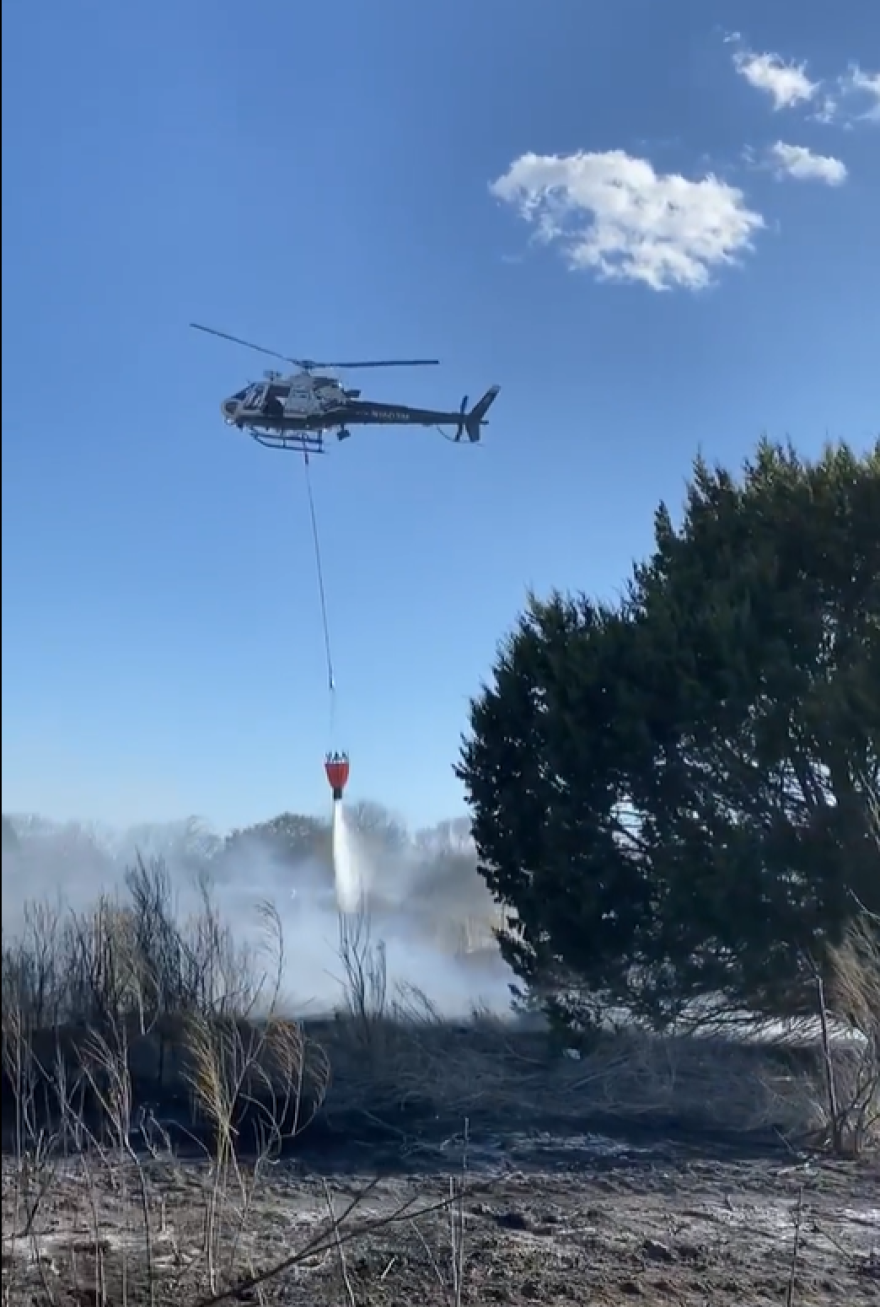
The district also posted images to its Facebook page that showed a San Antonio Police Department helicopter pressed into firefighting a grass fire this week off Talley Road.
A Red Flag warning was posted until 7 p.m. on Friday for counties south of a Cotulla to Victoria line. Forecasters said those counties are in tinder box conditions due to dry conditions, low humidity, and gusty winds.


