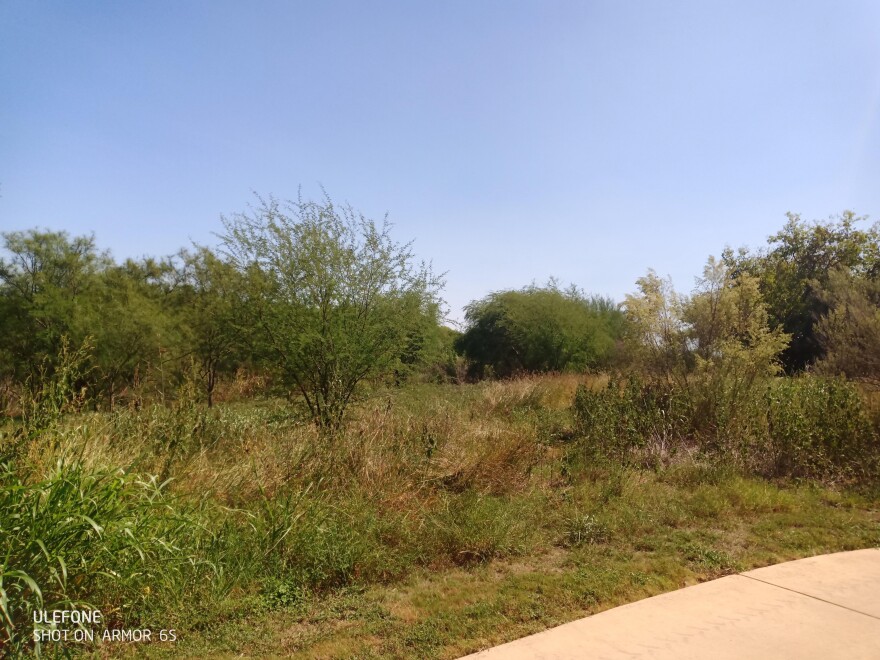
The San Antonio River Authority will start removing trees on Monday from along the Mission Reach of the river that could interfere with flood control.
The River Authority used computer modeling to determine which trees might cause floodwaters to back up on a eight-mile stretch of the waterway.
SARA spokeswoman Yvi Sarbones-Hernandez said native vegetation has grown up a lot along the river since its ecosystem restoration seven years ago.
“These are primarily volunteer wooden species that are common to occur in a flood conveyance channel and are not part of the initial 22,000 trees that were planted as part of the Mission Reach project,” she said.
The tree removal should take about two weeks.
The Mission Reach was a $384 million project by the River Authority, and the city, county, and federal governments to eco-restore the river, improve flood control, and make recreational improvements.
The Mission Reach is the portion of the river that includes the city’s historic Spanish missions and begins near Hildebrand Avenue and continues south to Loop 410 South.
“As a part of our maintenance efforts, we aim to preserve the trees originally planted as part of the ecosystem restoration project and will focus on removing vegetation that arrived since the opening of the project,” said River Authority Watershed and Park Operations Manager Kristen Hansen.
“Guided by the most updated floodplain models, we are able to determine the maximum number of stems allowed for any given area. The intent is to maintain high priority areas and allow as many trees to grow as possible without causing increased risk in the floodplain.”
The river authority also conducted a study of the Mission Reach using the most current Federal Emergency Management Agency floodplain maps to identify high priority areas necessary for stem density removal.
The river authority also coordinated with an avian expert to determine the ideal time from an avian perspective to perform the vegetation management. The effort will conclude by adding grassland vegetation to areas to assist with bank stabilization which also supports avian migration.
For more information about the Mission Reach Ecosystem Restoration and Recreation Project visit sariverauthority.org.


