-
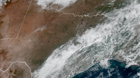
Two more Pacific cold fronts on the way to the Alamo City.
-
Some are common sense. Some are things most Texans do already. Nevertheless, it's worth taking a moment to ensure that everyone in your life adheres to these safe and healthy routines throughout the hottest months.
-
Hailstorms seem to be happening more frequently and the hail appears to be getting bigger. But the reasons for this might not be as obvious as you think.
-
Climate scientists say that extreme rain and drought are likely to become more common due to climate change.
-
Spending time outside in scorching weather can put you at risk of heat stroke or exhaustion. Here's what to watch out for and how to stay safe.
-
As Texas deals with the aftermath of a series of deadly storms, NPR’s Steve Inskeep checks in with Cooke County Sheriff Ray Sappington.
-
More than half a million people were without power in Dallas, Tarrant, Denton, and Collin counties as of Tuesday morning.
-
SAISD officials said HVAC systems are too complex to say January’s heater failures caused the current cooling challenges.
-
The National Weather Service said an estimated EF-2 tornado with winds up to 135 mph hit Cooke County near the Oklahoma Border. But it’s unclear how many tornadoes touched down during the storms, meteorologist Jennifer Dunn said during a news conference Sunday.
-
Hundreds of thousands of people across the region had no power early on Monday, and other states were preparing for severe weather as the storm system moved east.
Play Live Radio
Next Up:
0:00
0:00
Available On Air Stations


