Sign up for TPR Today, Texas Public Radio's newsletter that brings our top stories to your inbox each morning.
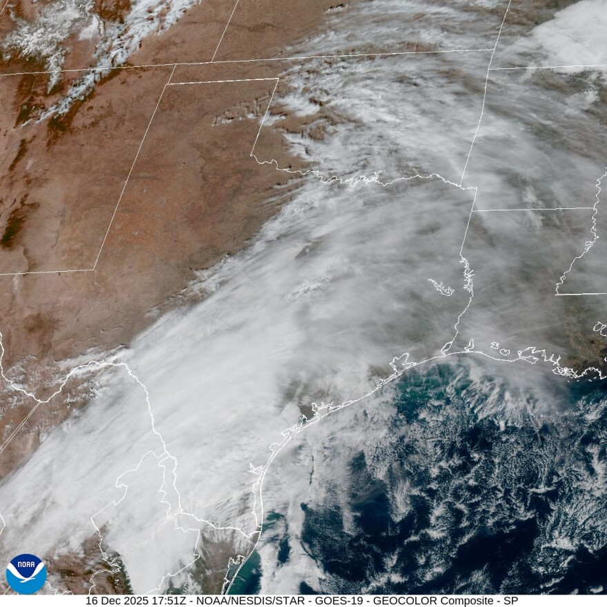
One trough moving across South Texas will collide with one along the middle Texas coast to generate light rain, fog, and mist for the region through most of Wednesday.
Both the morning and afternoon drives to and from work could be a little slick.
The National Weather Service reports total precipitation is not expected to exceed half an inch in some pockets and much less elsewhere. The heavier rain could fall from thunderstorms that cannot be completely ruled out.
Only about a quarter to a third of the area is expected to see precipitation during all of Wednesday.
After a chilly Sunday, Monday and Tuesday, high temperatures in the Alamo City are expected to warm into the upper 60s on Wednesday and upper 70s by Thursday. Nighttime lows will generally be in the 50s, except for early Friday morning, which could see lows in the 40s.
Friday will see a return to a high in the 60s and highs on Saturday and Sunday are likely to inch closer to 80 under mostly sunny skies.
Winds are switching from out of the north to out of the south to help warm the area.


