Sign up for TPR Today, Texas Public Radio's newsletter that brings our top stories to your inbox each morning.
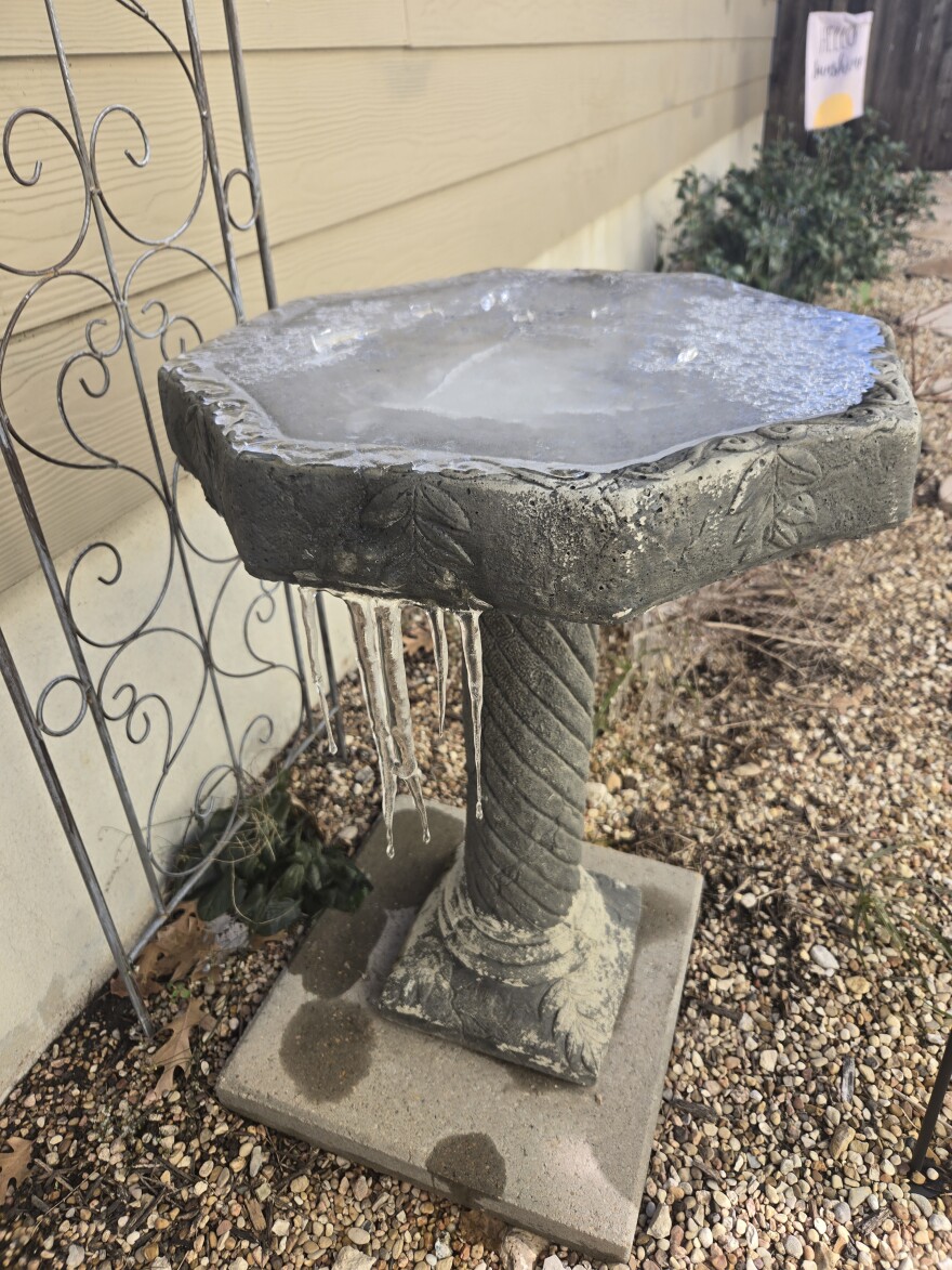
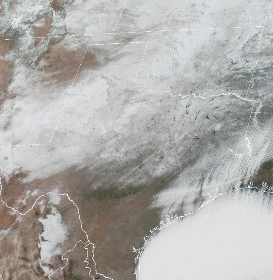
The worst of an arctic cold blast is behind the San Antonio area, but South Central Texas will still experience cold temperatures for the rest of this week, according to the National Weather Service.
Daytime highs will warm into the upper 30s on Monday and rise into the upper 40s on Tuesday. Highs in the 50s are expected on Wednesday and will rise into the 60s on Thursday. However, we will cool off again slightly for the weekend.
Slowing the warming trend a bit is additional cold weather coming out of the north.
"An arctic air mass across South Central Texas gets a reinforcement on Monday as an upper-level trough moves over the Central Plains, " said a statement from the National Weather Service.

Early morning lows this week will still be unseasonably cold. A record low of 20 was recorded on Monday. A low around 24 is expected on Tuesday, and lows around the low- to mid-30s are likely on Wednesday and Thursday mornings.
Frozen precipitation is also out of the San Antonio area forecast this week. Forecasters said residents will still need to take precautions to protect themselves and should also extend protocols they've been following to protect pets, plants and pipes from freezing temperatures.
Bitter wind chills can still be expected this week, but they won't be as harsh as those seen over the weekend. Frostbite and hypothermia are still possible with prolonged exposure to the cold.
Local gardeners will have a chance to remove covers from cold-sensitive plants during the afternoon hours this week to allow in a little sun before covering them back up in anticipation of some more early morning freezes.
Forecasters said motorists across the Hill Country and around Austin should watch out for residual precipitation on roads that could refreeze overnight.


