With Meghna Chakrabarti
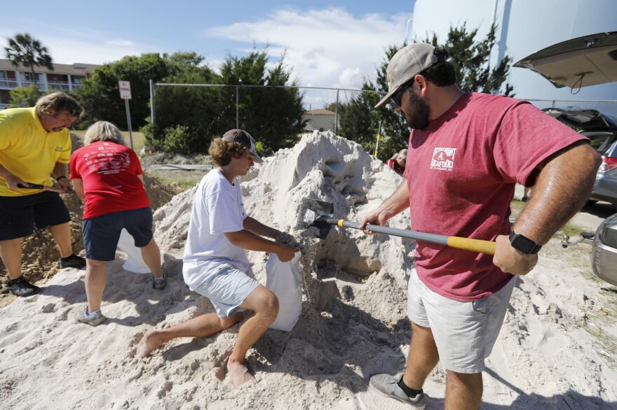
With Hurricane Florence bearing down on the East Coast, is it time for a radical rethink on what it means to be prepared?
Guests
Greg Postel, hurricane and storm specialist for The Weather Channel. Co-host of The Weather Channel’s American Morning Headquarters Weekend. ( @GregPostel)
Stephen Flynn, founding director, Global Resilience Institute ( @Resilience_NU) at Northeastern University. Member of the Homeland Security Science and Technology Advisory Committee. Author of “ The Edge of Disaster: Rebuilding a Resilient Nation.”
Abigail Darlington, covers the city of Charleston for the South Carolina Post and Courier. ( @A_Big_Gail)
Amanda Kinseth, reporter for WPDE ABC 15 News in Myrtle Beach, South Carolina. ( @AmandaKinseth)
From The Reading List
The Post and Courier: “ Charleston area should prepare for at least some flooding from Hurricane Florence” — “While predictions show Hurricane Florence heading for North Carolina, the amount of rainfall it could send Charleston’s way carries a potential for flooding.
“The Charleston area currently is expected to see at least 1-2 inches of rain over the next several days. But it’s possible the eye of Hurricane Florence will take a slight right turn to the south on Friday as it makes its way over eastern North Carolina, which could send a lot more rain to the Charleston area, according to Neil Dixon of the National Weather Service in Charleston.”
Washington Post: “ Category 4 Hurricane Florence drawing closer to Carolinas and threatens ‘catastrophic’ flooding” — “Expanding in size, violent Hurricane Florence is continuing on a beeline toward the East Coast as an “extremely dangerous” Category 4 hurricane. Catastrophic flooding and destructive winds are becoming very likely in the eastern Carolinas.
“Forecasts generally project the storm to make landfall between northern South Carolina and North Carolina’s Outer Banks as a strong Category 3 on Thursday, although shifts in the track are possible and storm impacts will expand great distances beyond where landfall occurs.”
Axios: “ The ties between Hurricane Florence and climate change” — “Hurricane Florence is a unique Atlantic hurricane, projected to stall out after hitting land and forecast to dump upwards of 2 feet of rain on several states, much like Hurricane Harvey did in Texas last year.
“The big picture: There are several characteristics of the changing climate that are helping to increase the risks of damage from Hurricane Florence, even though global warming is not directly causing such a storm to spin up.
“Between the lines: Hurricane Florence could become the strongest hurricane on record to strike so far north if it makes landfall north of the border between South Carolina and North Carolina as a Category 4 or 5 storm.
“It brings multiple threats, including a massive storm surge at the coast, as well as a potentially catastrophic inland flood situation.”
Copyright 2020 NPR. To see more, visit https://www.npr.org. 9(MDAwMTM1NDgzMDEyMzg2MDcwMzJjODJiYQ004))


